GPS tracking and shapes recording
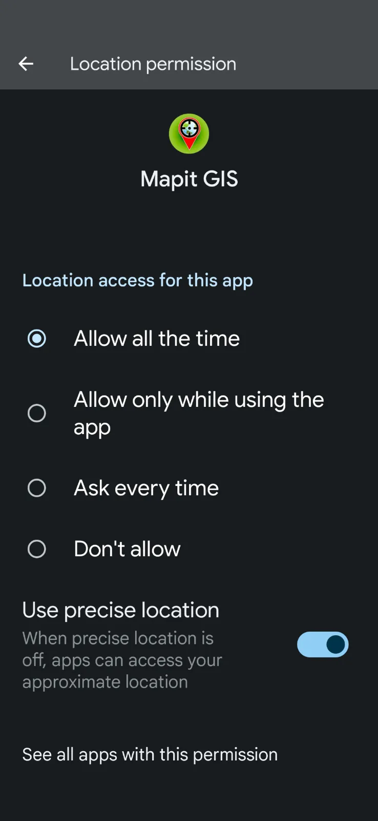
When recording the track or shapes, with the internal device GPS unit it is important that user extend Location Permission of the app to allow location at all time. This is because the app needs to record the location even when the app is in the background. So for example, if you wish to record the shape of the field by walking around it and keep the device in your pocket, the app needs to be able to record the location even when the app is in the background. If the permission is not set to allow location at all time, the app will not be able to record the location when the app is in the background and the shape will not be recorded correctly e.g., the shape will be recorded as a straight line from where the screen was locked to where the screen was unlocked.

Export data to PostgreSQL Database
To export data to PostgreSQL Database, you need to have a PostgreSQL database server running and the network security must allow connection to it from the following IP address:
- 134.209.80.174
In addition to the above you need to configure Mapit Professional by going to Settings -> Remote Connections -> PostgreSQL Settings and enter the following details:
- Host/Server (IP address)
- Port (default is 5432)
- Username
- Password
- Database name
Following the above steps, you can export the data to the PostgreSQL database by going to the Export (context menu for the layer) and selecting ‘Export to PostgreSQL’.
You will be presented with 2 options:
- Create new or append existing table
- Create new or overwrite existing table